

您正在关注
关注用户错误。
该用户不允许他人关注他们。
您已经关注了这个用户。
您的会员计划仅允许0个关注。升级在此。
成功取消关注
取消关注用户错误
您已成功推荐
推荐用户错误。
出问题了,请刷新页面并重新尝试。

联系Jorge M.询问您的工作详情
登录并通过聊天讨论所有细节。
文件夹
文件夹
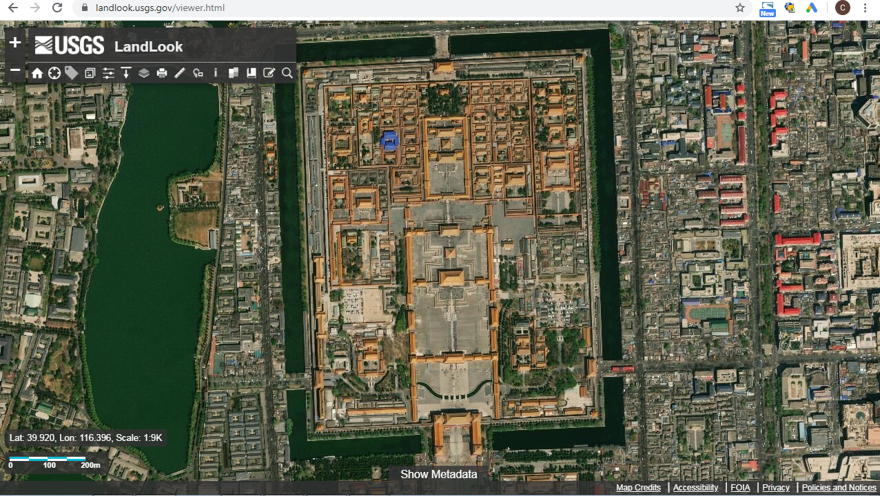

High Resolution Images

LAYERS OSM


CADASTRE ROOF PITCH

CADASTRE ROOF PITCH

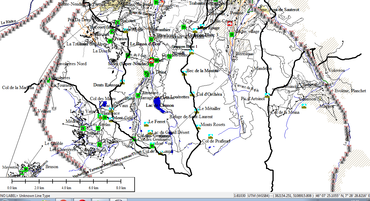
TRAFFIC MAPS ARCGIS


CATARATA
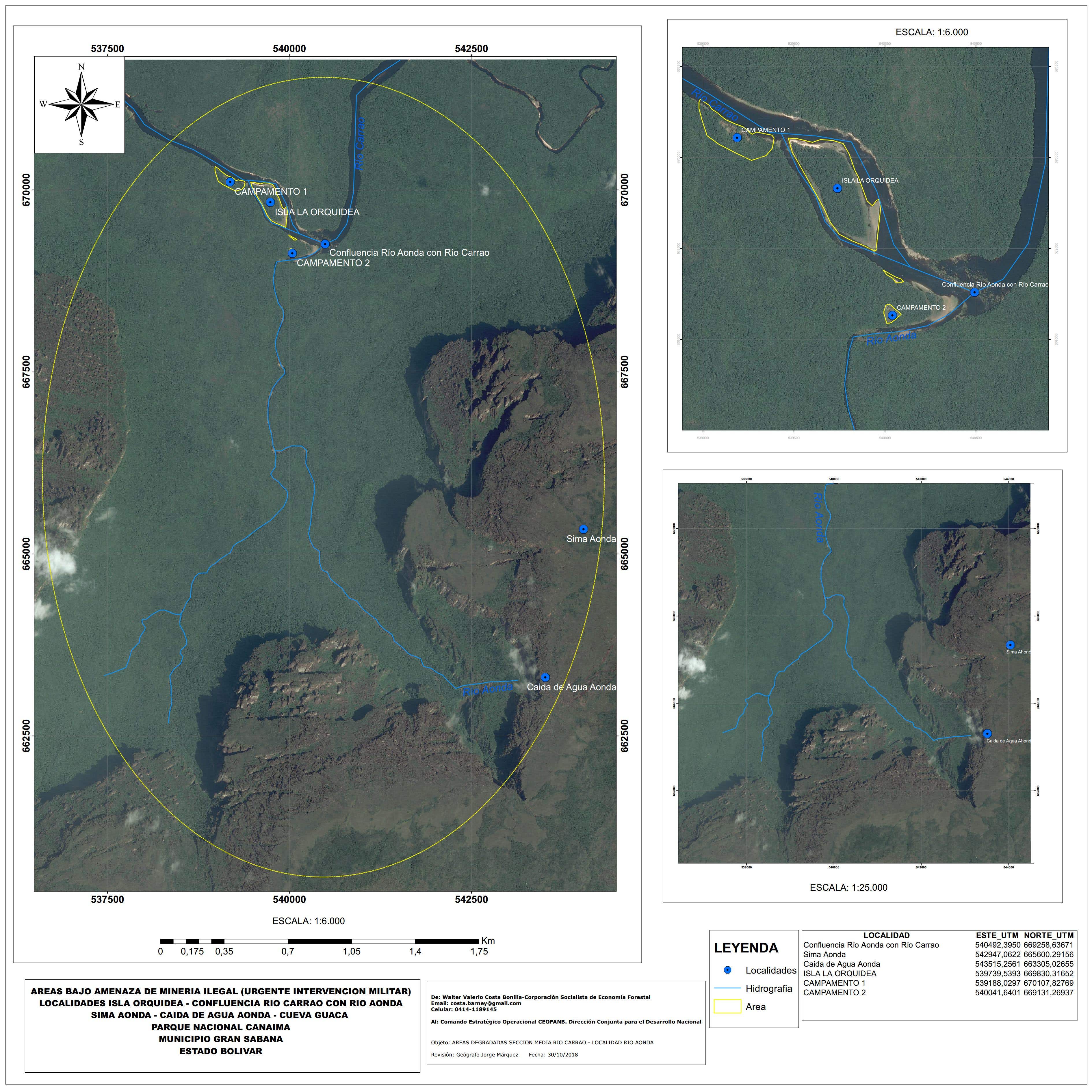

ORCHID ISLAND CANAIMA VENEZUELA NATIONAL PARK
High Resolution Images
LAYERS OSM
CADASTRE ROOF PITCH
CADASTRE ROOF PITCH
TRAFFIC MAPS ARCGIS
CATARATA
ORCHID ISLAND CANAIMA VENEZUELA NATIONAL PARK
评论
变更已保存
这里没有评论!
经验
GIS CARTOSURVZLA
1月 2007 - 现在
GIS SPECIALIST AND REMOTE SENSORS
教育
PH GEOGRAPHER
(6 年)
联系Jorge M.询问您的工作详情
登录并通过聊天讨论所有细节。
认证
邀请已发送成功!
谢谢!我们已通过电子邮件向您发送了索取免费积分的链接。
发送电子邮件时出现问题。请再试一次。
加载预览
授予地理位置权限。
您的登录会话已过期而且您已经登出,请再次登录。